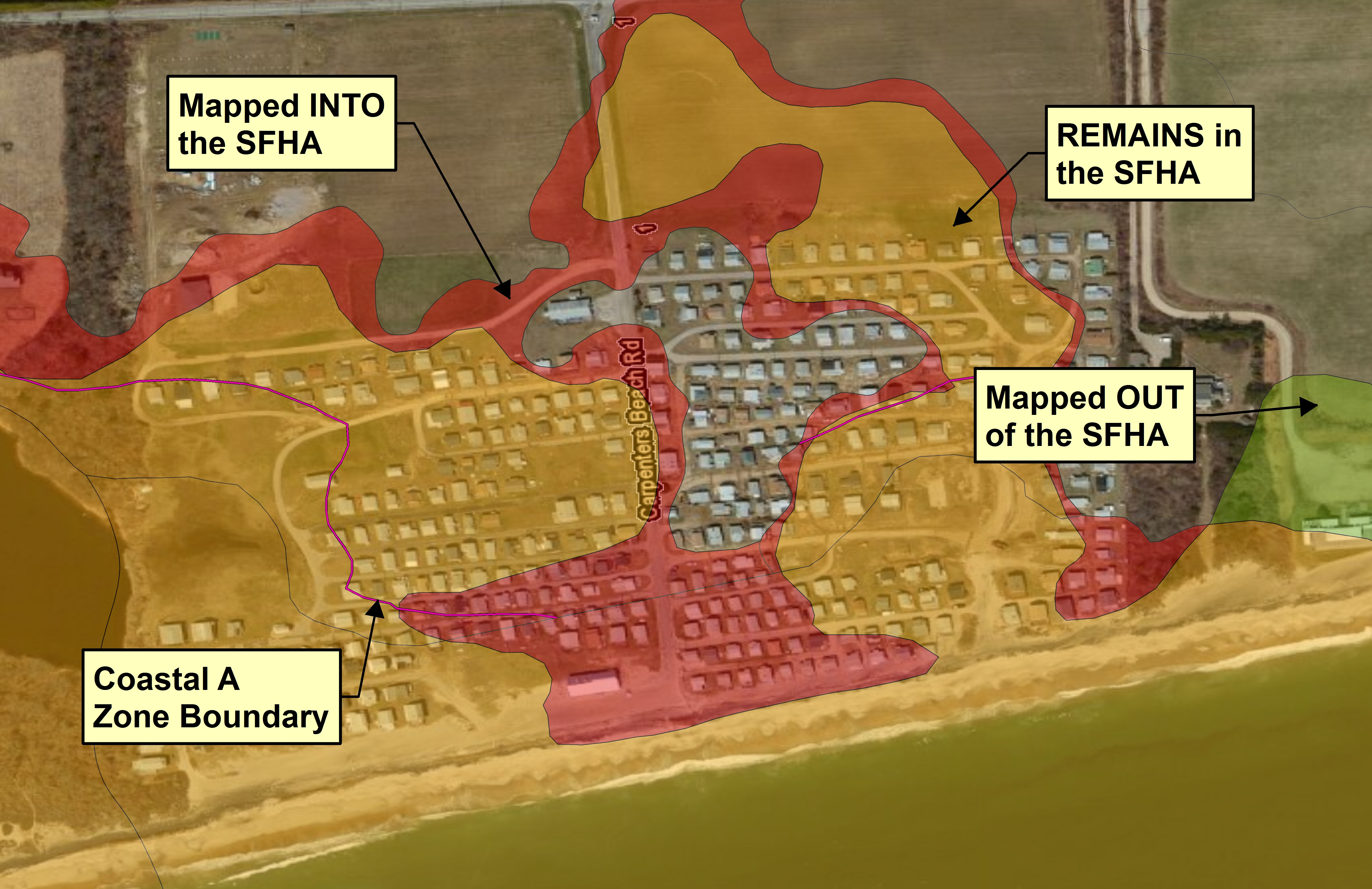
How to easily identify revised flood zones
Tuesday, January 14th, 2014The Rhode Island Flood Insurance Rate Maps (FIRMs) have recently changed. What properties have been impacted? NE&C has developed an easy to use free Google Earth layer that makes it simple to quickly see where the flood zones have changed. One click will display what has changed, the current flood zone designation, and the base flood elevation. Click to give it a try!
6 Valley Road Middletown, RI 02842 · p 401.849.0810 · f 401.846.4169 · info@northeastengineers.com
© 2025 Northeast Engineers. All rights reserved.

